
Activity Tracking — Travel
Your days, on a private map
Quantified Map, for iPhone and iPad, is made by independent developer Ludovic Landry. It turns your activity, the places you visit, your workouts and your photo locations into a personal map and a day-by-day timeline. Maps are generated on your device.


Maps of a day, a week, a month or any period
Pick Day, Week, Month or Custom dates and see how you moved: walking, running, cycling, transport, underground, boat, flights and more. Turn activity types on or off, and share the map as an image.
A timeline of every day
Each day lists the places you stopped at and the journeys between them, with times, distances and your photos. Jump to any date from the calendar, pick the right place when a name is wrong, and change an activity's type.
Optional automatic tracking
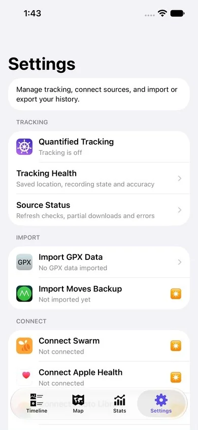
Turn on Quantified Tracking and the app records the places you visit and how you travel, in the background. Pause it for an hour or four hours, and check Tracking Health for the recording state and accuracy.
Bring your own history
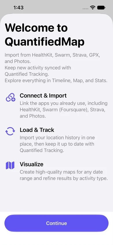
Import workouts from Apple Health, activities from Strava, check-ins from Swarm, photo locations, GPX files and Moves backups. Every source is optional, and Source Status shows what was refreshed.
Stats and workouts
A sunburst diagram shows how your time splits across activities and places. Weekly and monthly workout cards add up your distances, with daily steps from Apple Health.
Notes, photos and backups
Write a note for any day; unfinished writing is kept as a draft on the device. Add a location to photos that have none. Keep an encrypted Personal Backup, and export your recorded locations as GPX.
Private by design
Your history is stored on your iPhone, with no account. To name the places you visit, the app sends their coordinates to Apple Maps, and to Foursquare only if you turn that option on. Map tiles come from Mapbox. Read the privacy policy for every detail.
The current version
Test captures of the version in development (October 2026), in English.
Requirements
iPhone or iPad with iOS 26 or later. Available in English, French, German, Italian, Japanese, Simplified Chinese and Traditional Chinese. On the App Store since 2017.